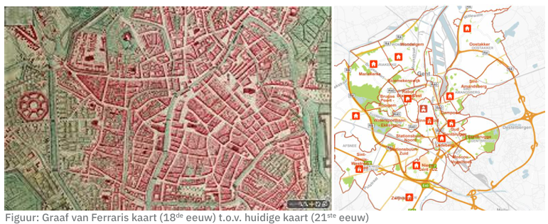
Cartography refers to the science, technique and art of making and using maps. It involves the collection, analysis and presentation of geographic information in an accurate graphic manner to represent spatial relationships, patterns and features of the land surface. Cartography combines elements of geography, mathematics, statistics, information technology and design to produce accurate and understandable representations of the earth.
Modern cartography uses advanced technologies such as geographic information systems (GIS) to create detailed and dynamic maps. These maps serve various purposes, including navigation, planning, environmental analysis, education, and decision-making in various sectors such as urban planning, agriculture, conservation, and more.
Through mapping, complex geographic information and spatial relationships can be visualized, allowing users to better understand their surroundings and make effective decisions based on data that is geographically contextualized.
Some of our mapping services:
- Digital mapping: From detailed maps on a specific theme/domain to interactive map applications for websites and mobile platforms, we deliver accurate and visually appealing digital maps.
- Thematic map production: We specialize in creating thematic maps that visualize specific data, such as demographics, natural resources, and urban development. These maps provide valuable insights for decision-making and planning.

