To map vast areas such as polders, beaches and archaeological sites, we use unmanned aircraft or drones.
All drones are equipped with RTK GPS, accurate cameras and other measurement sensors, such as infrared and multispectral.
Our certified drone pilots take aerial photos with a specially designed drone for mapping and inspections.
The photos are assembled via photogrammetry software into a photo mosaic, from which we can generate a 3D model, point cloud or orthophoto.
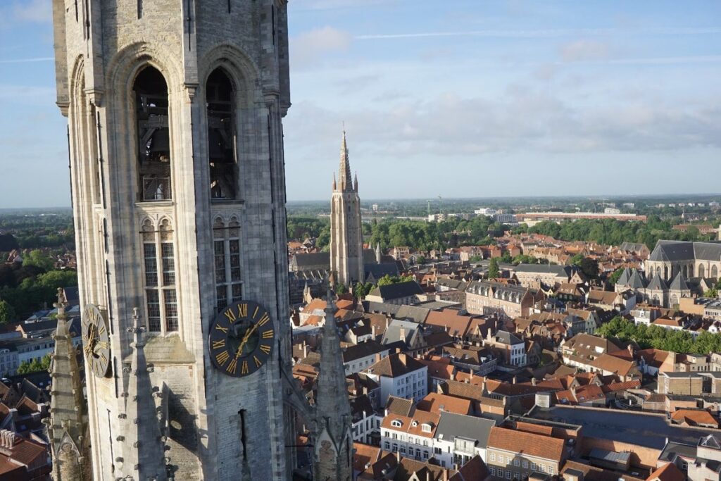
Want to map a hard-to-reach place, such as roofs, solar panels, church steeples or air pipes?
Then we switch on the multicopter.
Moreover – in addition to mapping and inspections – we can also be an important helping hand in agriculture, for example, by monitoring growth during the growing season and checking whether the crop grows evenly everywhere, as well as where it lags.
Wondering how we can help you? Contact us and together we’ll see what possibilities are available to you.
